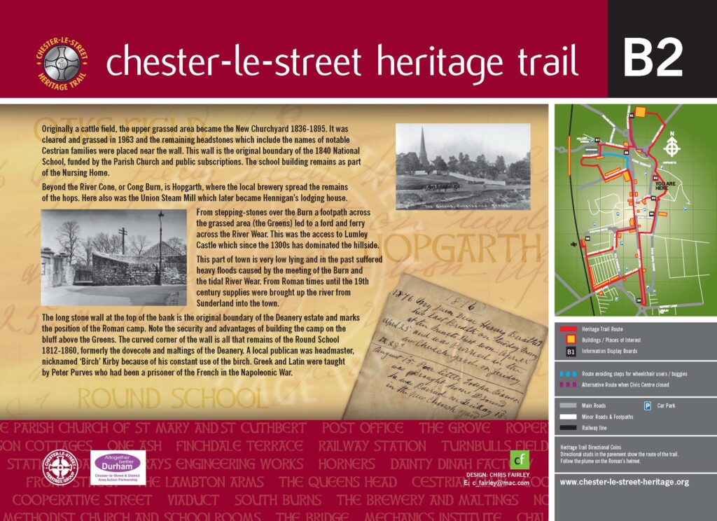
Chester-le-Street Heritage Trail is a circular walk around the town and covers over 2000 years of history, the town dates back to AD122 when the Romans built a fort here, over the years it has been a place of pilgrimage from all over Europe, a centre for innovative engineering and home to a world renowned confectionary factory.
The trail consist of 8 Information Boards, a number of Plaques and 39 Points of Interest. To aid navigation there are directional studs and three fingerposts. A trail map is also available (see link below).
More information about Chester-le-Street Heritage Group can be found on our website chesterlestreetheritage.org. Where you can find more information regarding some of the buildings mentioned on the trail.
Information Boards – There are 8 Information Boards placed around the trail, each giving information relating to the area where they are located and give a potted history of the town.


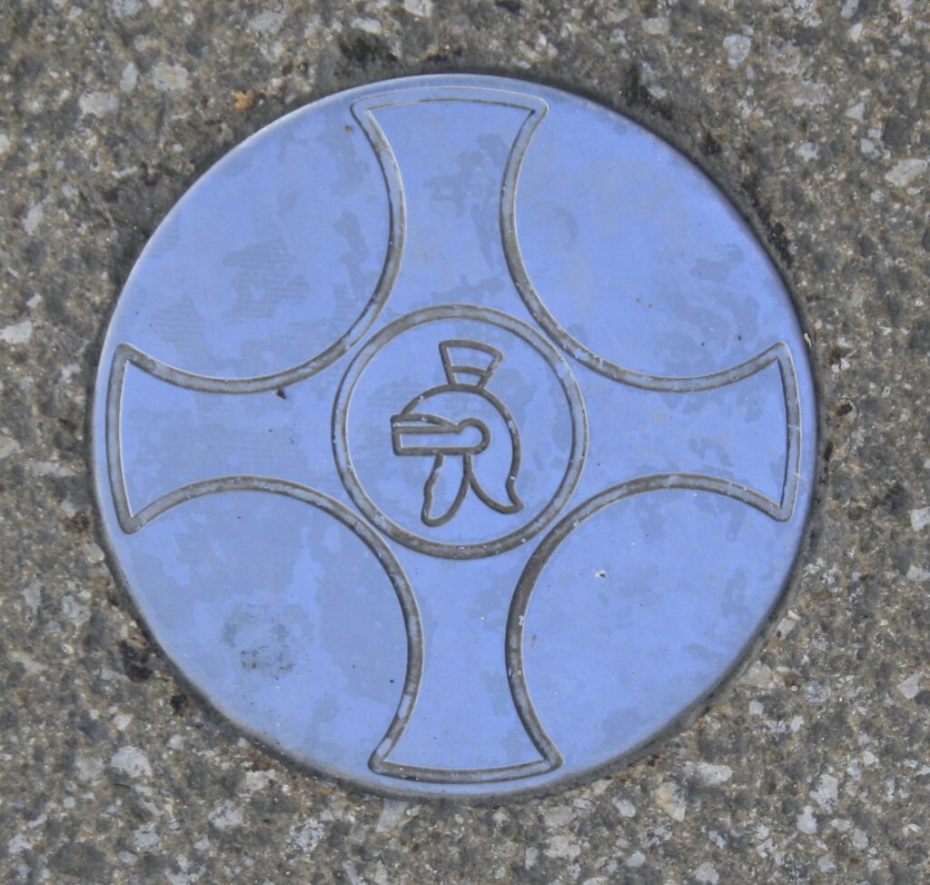
Two different colour directional studs are imbedded in the pavement to aid direction.
Gold (left) Indicates turn left or right.
Silver (right) indicates straight on.
Just follow the Plume on the Roman Helmet for direction of travel.


In addition to the Information Boards are a number of Plaques, these are located on buildings with significant history to the town.
Unfortunately due to building redevelopment a number of these Plaques have been misplaced, however details can still be see on our Plaques pages.
A copy of our trail map can be downloaded by selecting the link or alternatively please Contact Us and we can email a copy.
We suggest that you start the walk at either Board 2 or 3. Due to the demolition of the Civic Centre and the proposed redevelopment of the site. Note – Parking is still available in the area of Board 1 if required.

