Points Of Interest 1 – 10
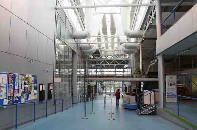
No.1 – CIVIC CENTRE – Now wasteland, the Civic Centre was opened in May 1982 on land originally given over to allotments. It was demolished in 2014.
Board 1
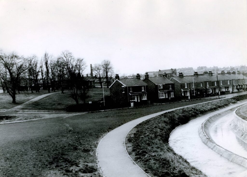
No.2 – HOPGARTH – The area around the river Cone or Cong Burn, this is where the local brewery spread the remains of hops. A low lying area and has been prone to flooding over the years, with reports of flooding dating back to 1771.
Board 2
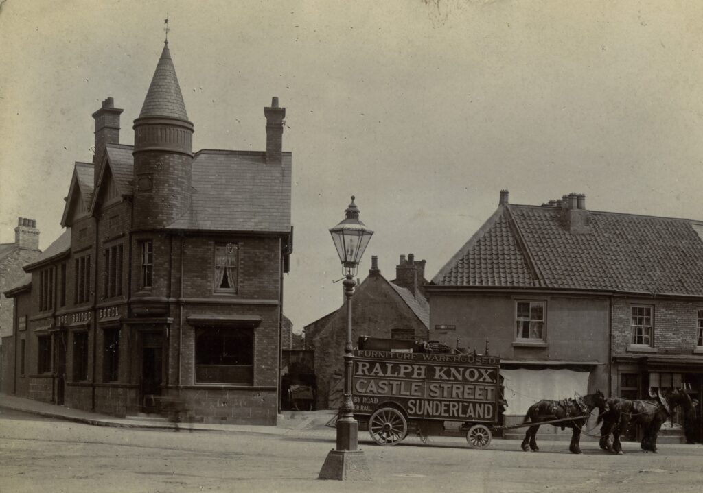
No.3 – BRIDGE HOTEL – Now a Mediterranean Restaurant the Bridge Hotel was built in 1895 on the site of Murrays shop. It replaced the public house that had been in that part of the town since at least 1827.
No.4 – OAKS FIELD – Originally a cattle pasture, it became “The New Churchyard” controlled by the Parish Church in 1836. It was used until 1895 with the last recorded burial in 1927. The headstones were cleared and the area grassed over in the 1960s. Some of the headstones can still be seen up against the wall of St. Mary’s Nursing Home.
Board 2
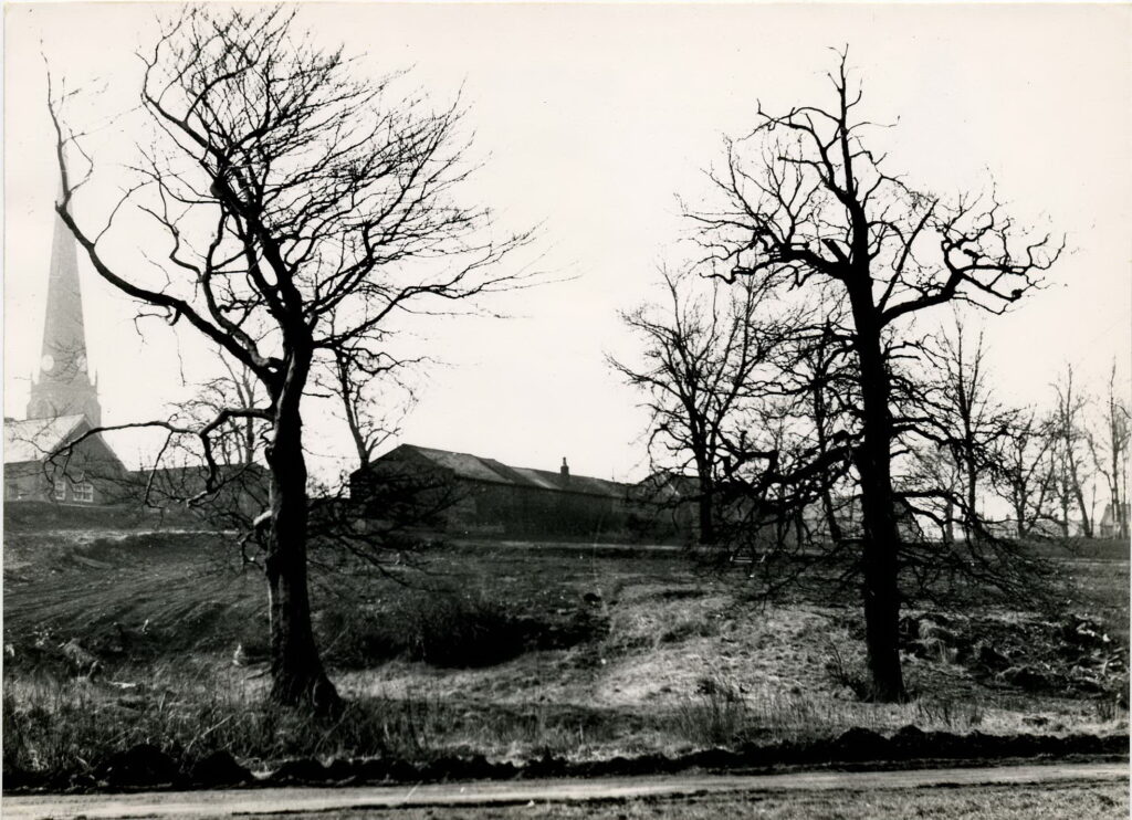
No.5 – ROUND SCHOOL – For more information please use link below.
Board 2 – Plaque (Missing)
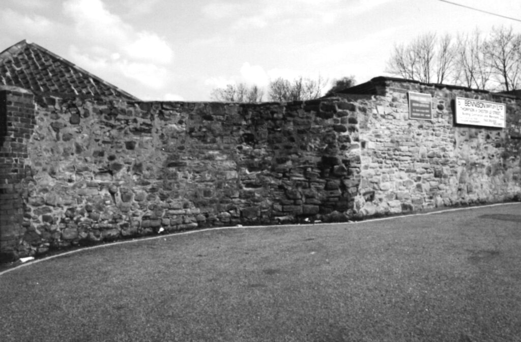
No.6 – ROMAN FORT – What remains of the officers quarters from the Roman fort dating back to 122AD. Stones from the cam were used in the building of the Parish Church, with the Roman Stone Mason marks still visible
Board 3
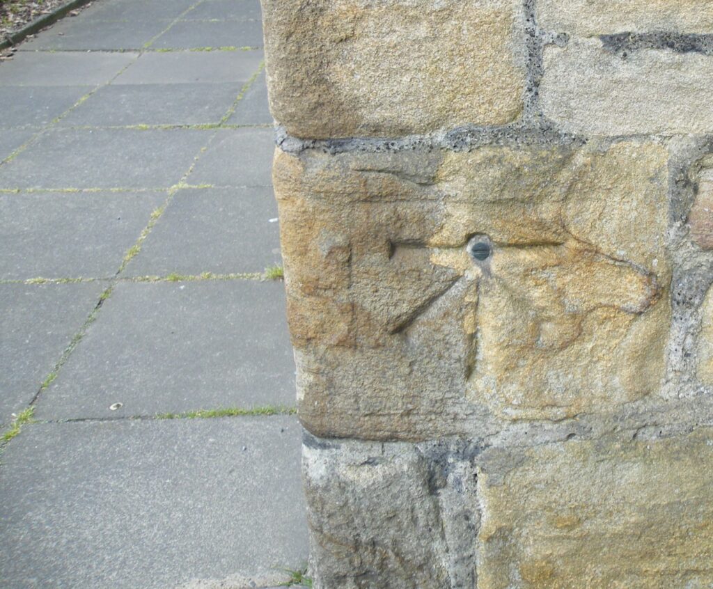
No.7 – BETHEL CHAPEL – The foundation stone for the chapel was laid on 3 May 1814. Originally the Congregational Church, it became the United Reformed Church in 1972.
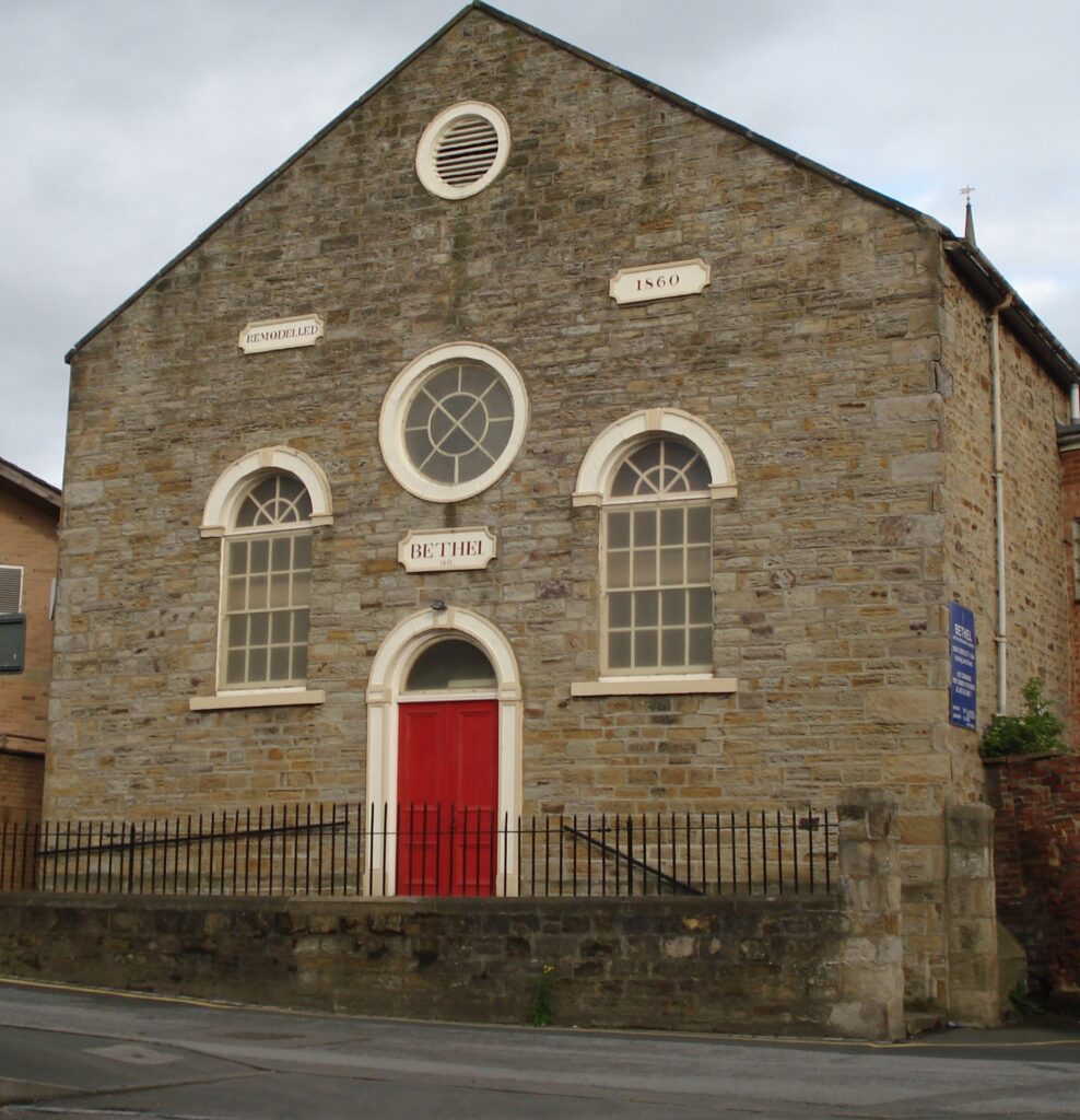
No.8 – MIDDLE CHARE – Church Chare joins High Chare, Middle Chare and Low Chare. The word Chare is believed to Medieval in origin and means narrow street or alley.
Board 4
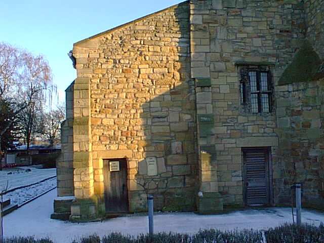
No.9 – ANKERS HOUSE – Now a museum which holds artifacts from the towns Roman, Anglo-Saxon and Medieval past.
Board 4
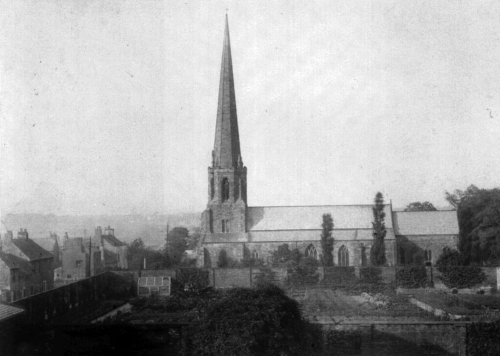
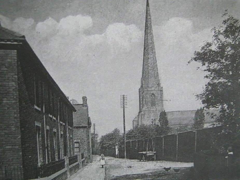
No.10 – PARISH CHURCH – A church has stood on this site since 883AD. When the monks brought the body of St. Cuthbert from Lindisfarne the town became a centre for pilgrimage and learning throughout Europe.
Board 4